The Keystone Rapids Trail is just south Traverse City, MI, just 1.5 miles east of Chums Corner. (Chums Corner is at the intersection of US-31 and M-37.) The trail is contained within a 525 acre preserve along the Boardman River. For more information on the preserve and trails, see this website.
This is Part 1 of 3 posts for this hike. Part 2 can be seen here and Part 3 here.
There are multiple trailheads with ample parking to start your hike. I used the southern-most trailhead, across the road from a public Boardman River canoe launch. The trail is flat and well marked. Here is a trail map (from Google Maps) with my path highlighted in yellow. Note that the trail seems to go out into the Boardman Lake, but a dam has been removed, reducing the lake back to its original river course.

On to the photos. There were lots of wild flowers in bloom. Unfortunately, there are several plants I could not identify, but I’ve included the ID of those I could find.

These wild asters were everywhere. I was on the trail early enough to see the dew on everything.


There was also a lot of knapweed.


I see these bladder campions everywhere I go, it seems, but they are very pretty, especially when covered in dew.


You are almost always close enough to the Boardman River to hear the rush of the water.


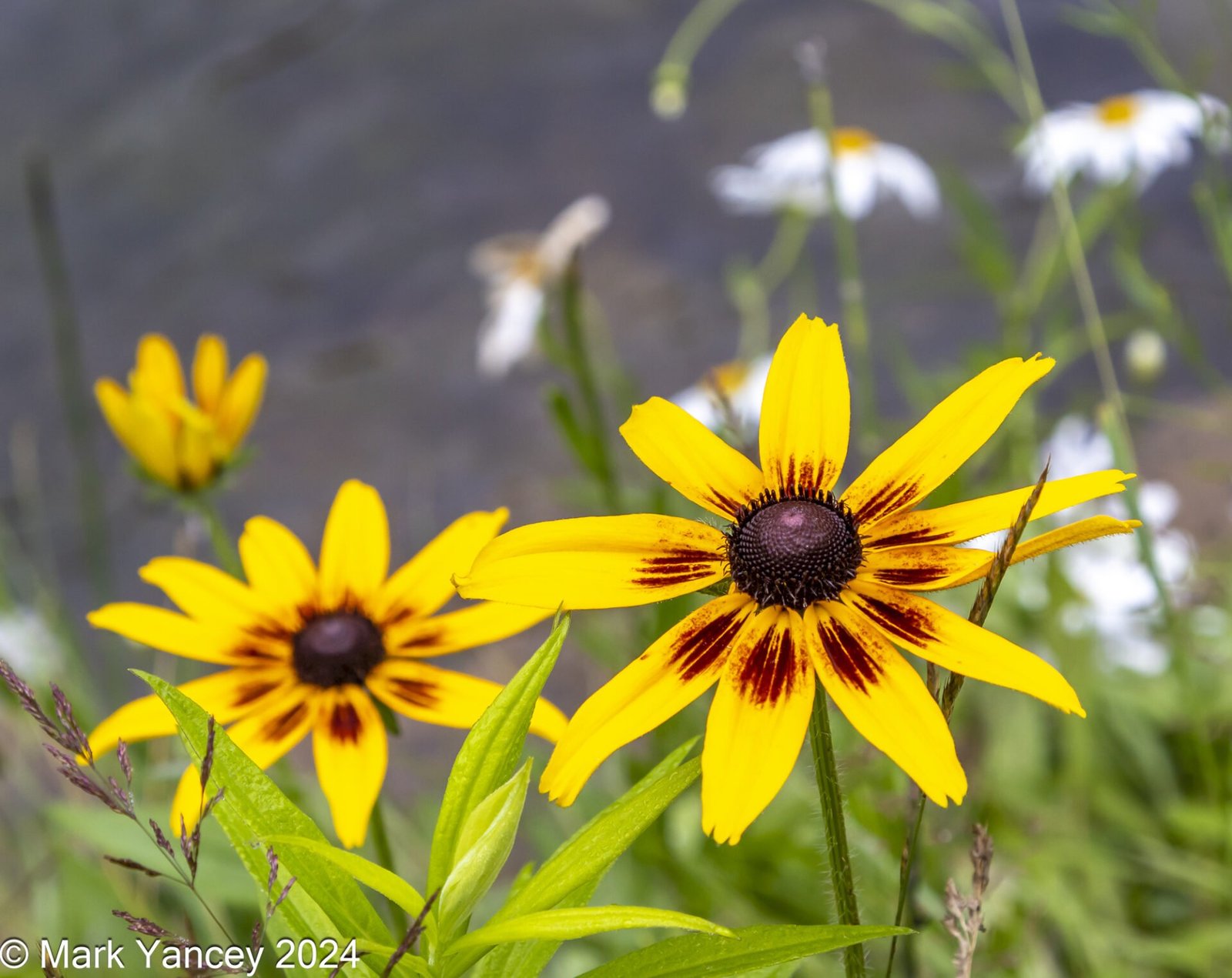
These black eyed Susans were growing very close to the water’s edge.

I’ve always called this snake grass, but it is more properly called rough horsetail.

Here’s where I will stop for today, with this image of the trail.

I’ll be back soon with another post to continue my hike.
Mark


Leave a Reply